A clienet has asked me to produce site plans of several sites. I recall a “plane table” method outlined in FHB, but cannot find it in the online index. I believe you triangulate objects from two points on a baseline, drawing lines on a sheet of paper to save measuring a lot of distances. Any tips? What type of sight can accurately define the angles? Thanks.
Discussion Forum
Discussion Forum
Up Next
Video Shorts
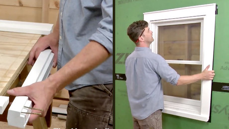
Featured Story
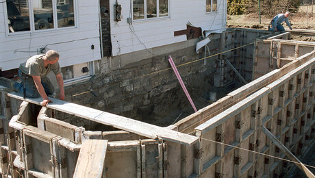
There are a number of ways to achieve a level foundation and mudsill.
Featured Video
Highlights


"I have learned so much thanks to the searchable articles on the FHB website. I can confidently say that I expect to be a life-long subscriber." - M.K.


Replies
hey , guest.. depends on the size of the site.. you could measure angles with a builder's transit...
or pull a 100' tape from known corners as a baseline.
if you start getting beyond say 200' , then you would want a surveyor's transit..
but it really depends on the reason for the survey.. and the ultimate use of the site plans
Mr. Guest,
Plane tables are rather old-fashioned. Do you know how to go to your local library? [It seems few people do.] They will always have at least one moldy book on Surveying [Breed or Davis]. Also you might try Google [if you have Internet access].
But allow a brief recap. You need a flat table with your paper pinned on it. [Tape was invented yet.] Simplest is a straight board with a couple of finish nails. More accurate is up to you. You might try a cheap .22 rifle scope, about $22. You would scale off the distance between your two observation points. From your second point, you would have to calibrate or line up your base line with your original point.
I hope this helps. Ask more questions if necessary. Use MapQuest for directions to your library.
~Peter